
 Ā
Ā
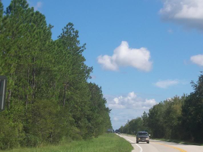

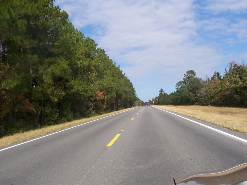

US 17, looking South into Florida.
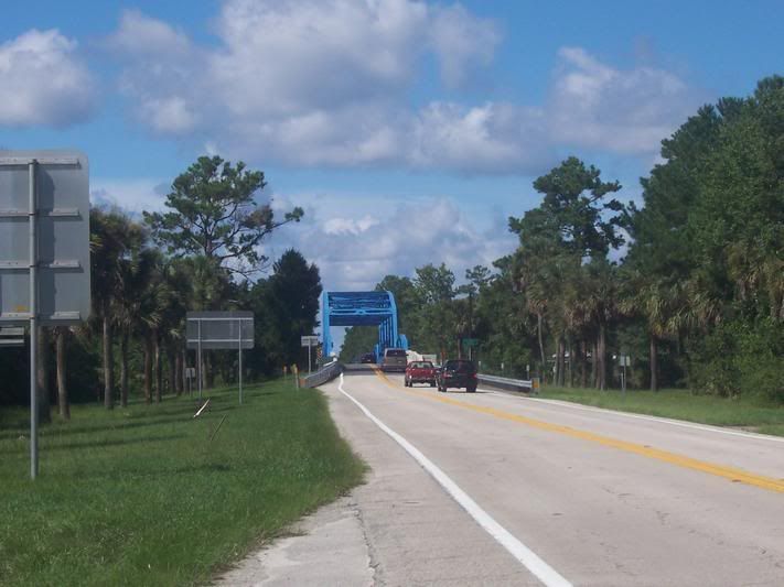
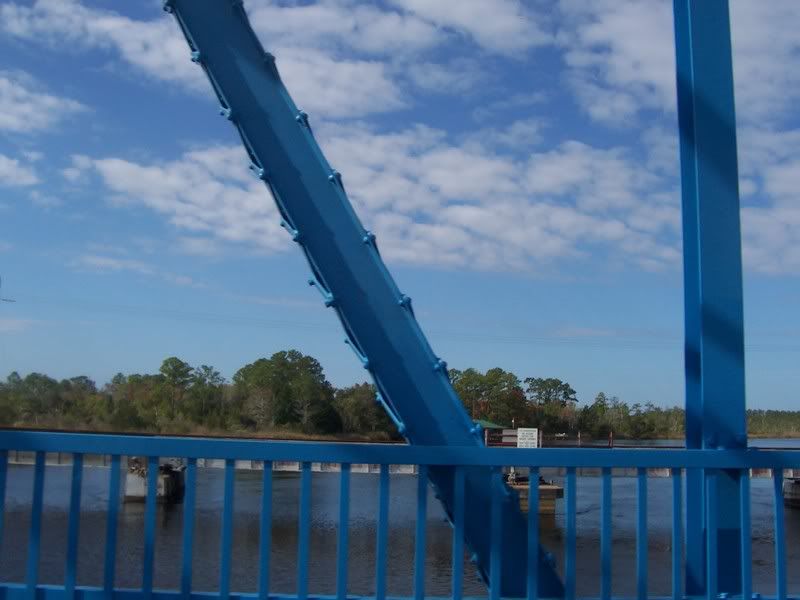
Crossing
the St. Mary's River, looking at a railroad bridge crossing the river.
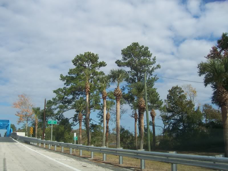
The bridge over the St. Mary's River headed into Georgia as seen from the Florida side of the border.
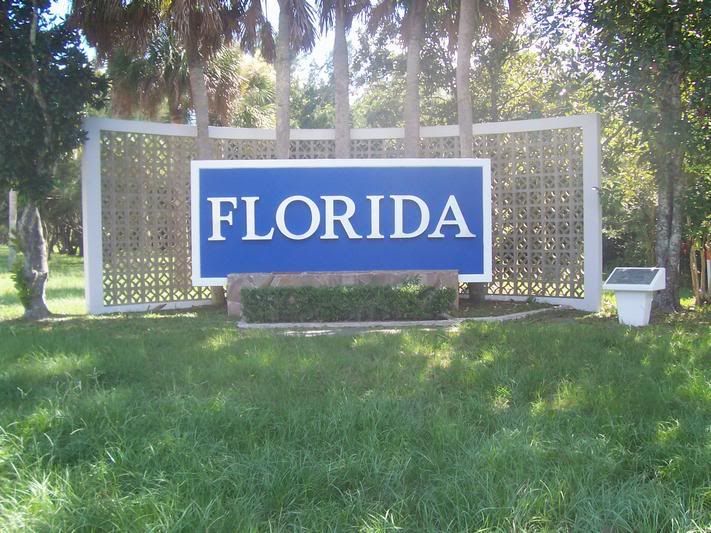
The Welcome to Florida sign just south of the Georgia/Florida Border.
Going
from South to North, US Highway 17, begins on the Gulf Coast of Florida at its
junction with US 41 near Interstate 75 in Punta Gorda, FL in Charlotte County.
From there, US 17 follows a generally North or North Easterly path roughly
parallel with Interstate 4 through the towns and cities of Winter Haven,
Kissimmee, Orlando, Winter Park and Sanford. US 92 will join with US 17 at Lake
Alford, FL near Tampa and will share pavement with US 17 through Orlando and
Sanford and on to Deland, FL, where US 92 continues east to Daytona
Beach.ĀFrom Deland, US 17 will continueĀNorthward along the St. Johns
River through Palatka, Orange Park and Jacksonville where the St.ĀJohn's
River turns East to the Ocean. US 17 will continue North from Jacksonville to
Yulee, FL where it will take a turn Northwest following the St. MarysĀRiver
and the Georgia/Florida Border before turning North and crossing the St. Mary's
River into Georgia via the bridge in the pictured above.
Still on the Florida side of the border. The bridge over
the St. Mary's River is to the
left.
Finally
on the Georgia side of the St. Mary's River.
Looking
ahead to Georgia.
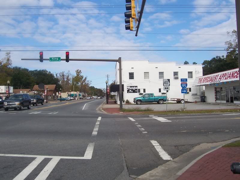
The
junction of US17 and GA40.
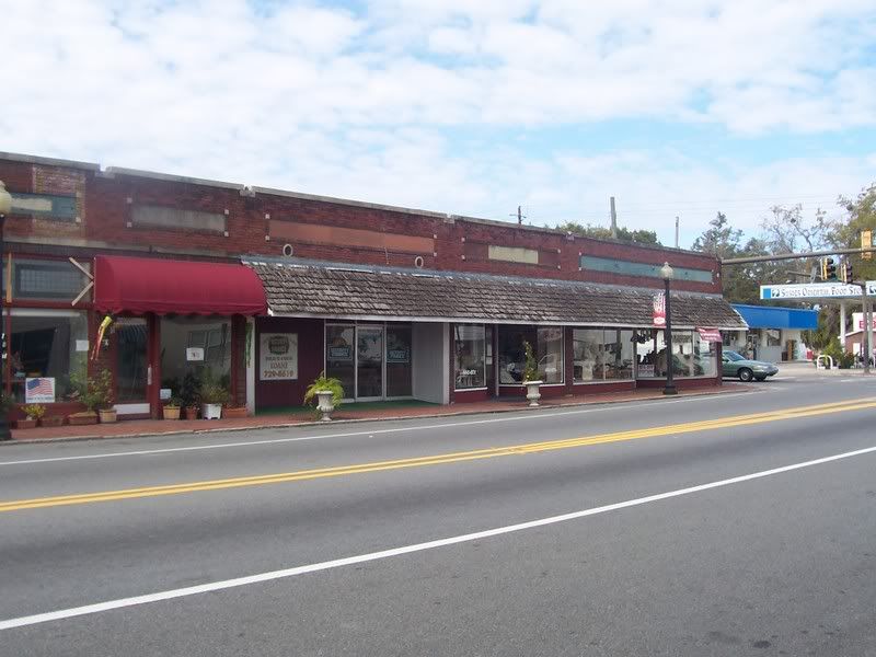
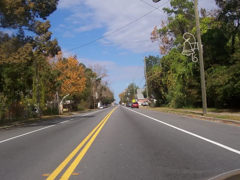
Downtown
Kingsland, GA.
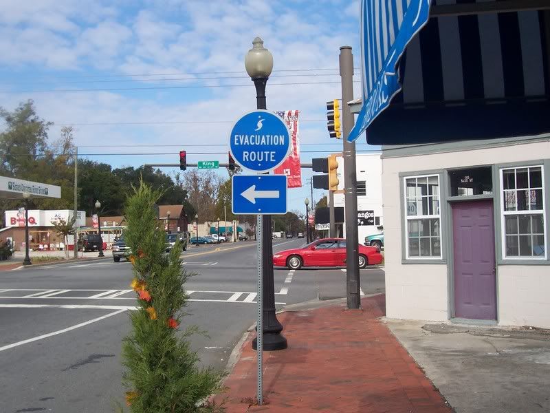
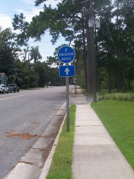
Above:
A hurricane evacuation sign in Kingsland.
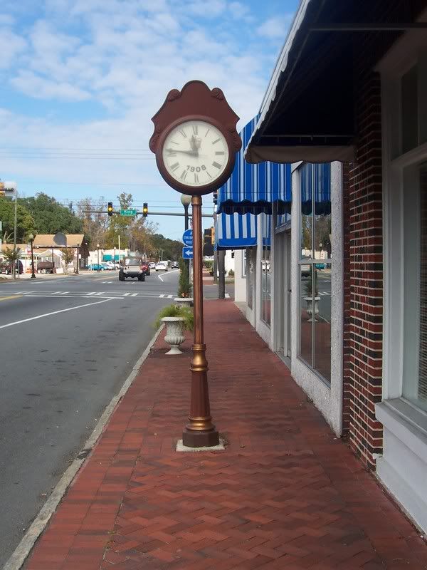
Right: A clock infront of a
local merchant in Kingsland.
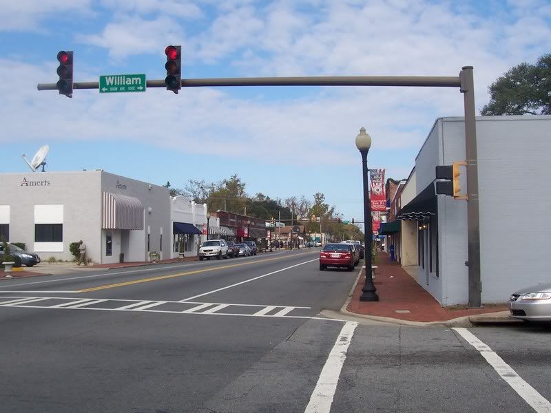
Above:
More downtown Kingsland, GA.
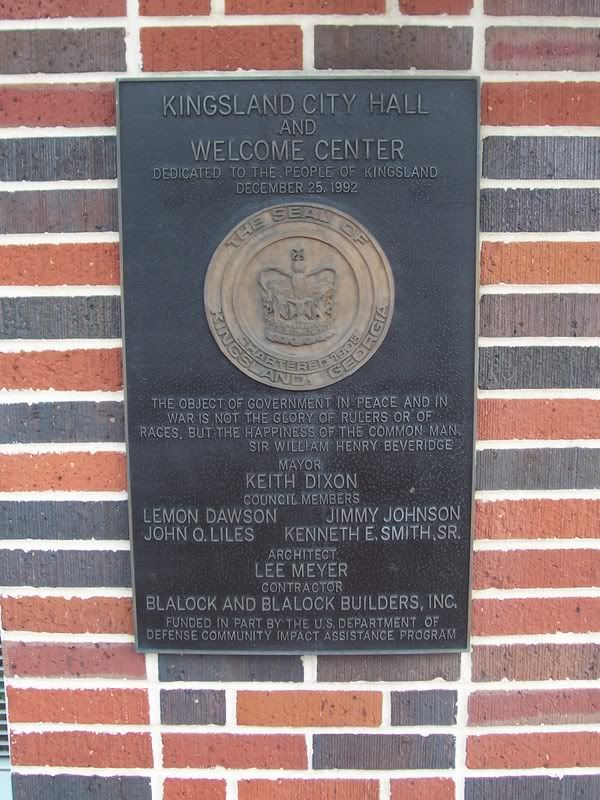
Right: The Kingsland City Hall and Welcome
Center dedicationĀplaque. Ā
Departing
Kingsland, GA on US 17.
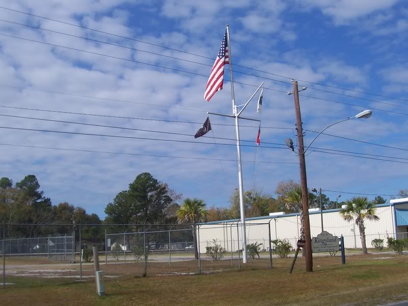
The
Kingsland Public Works Center, with the flags on what used to be the mast of a
ship. The Kings Bay Navy Base a few miles east of this location.
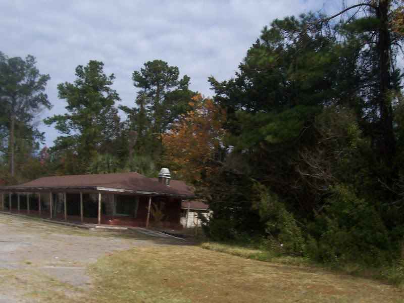
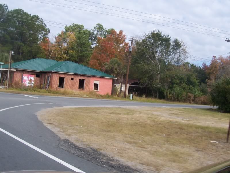
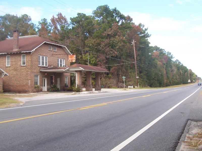
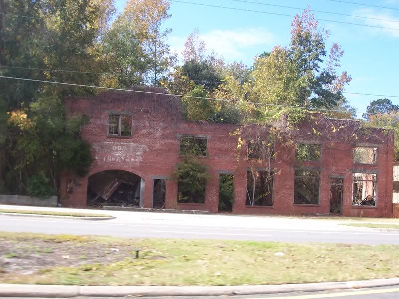
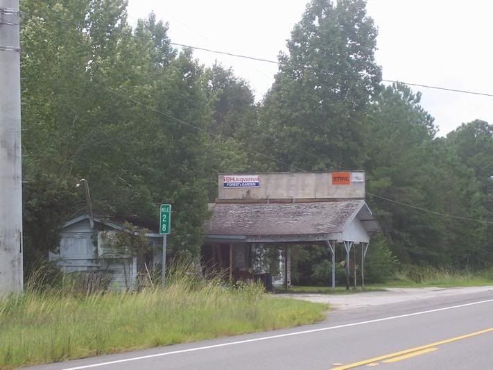
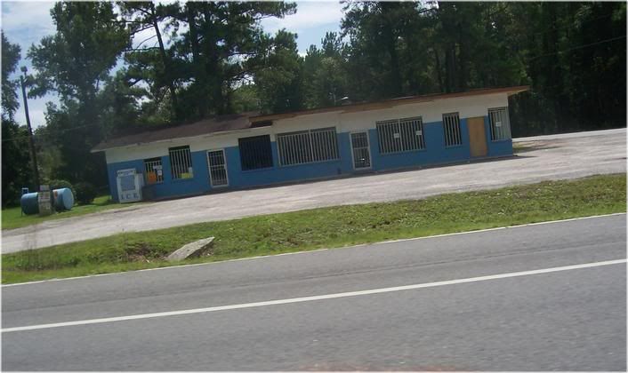
An
abandoned restaurant along US 17, a remanant of an era past, slowly being
reclaimed by Nature.
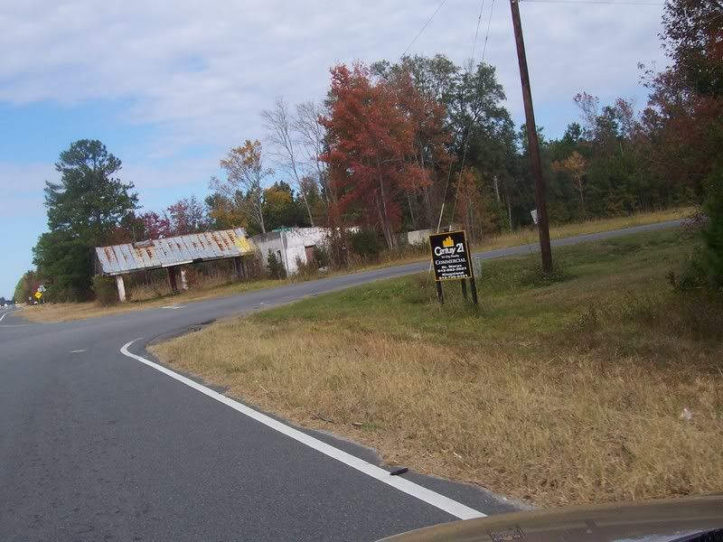
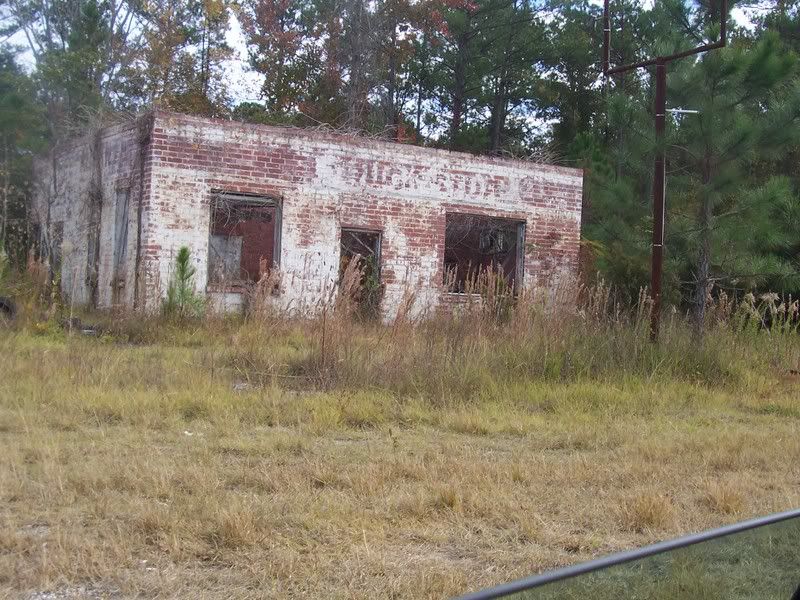
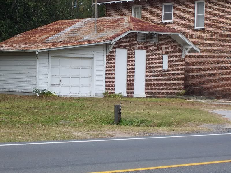
Another
abandoned structure, possiblly once a gas station or a restaurant.
Somewhere
between Kingsland and Woodbine, the feature of note being that Northbound has
two lanes and Southbound has only one lane.
Another
abandoned gas station along US 17.
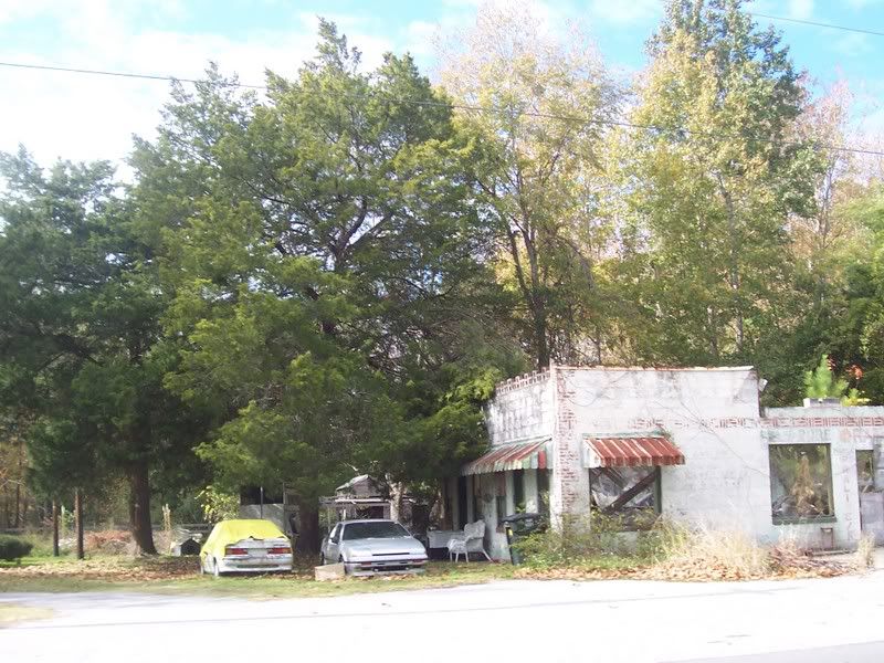
Another
decaying structure, probablly a restaurant in its day, along with a couple of
dead automobiles.
Nature
has just about finished the job of reclaiming this building.
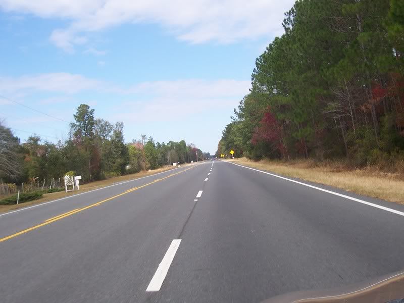
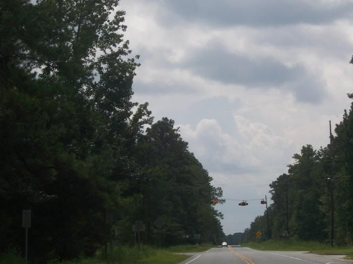
US
17, looking North.
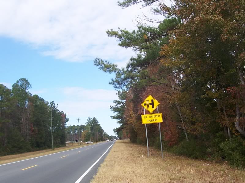
Not too sure I undertand why thisĀsideĀroad carries the name it
does.Ā (note, may need to click image and view the picture on its own to
read the sign.)ĀMy understanding was that the Jefferson Highway ran from
Winnipeg, Manitoba, Canada to New Orleans and not along the East Coast of the
US.
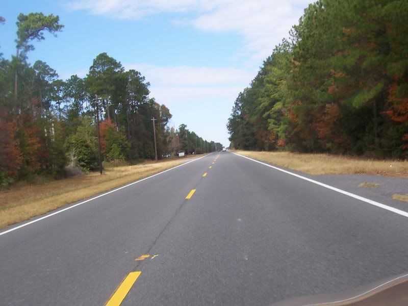
US
17, Rural Coastal Georgia. What's left of it.
Another
one time gas station, this one not abandoned. Even though the pumps are long
gone, activity has been noted here from time to time - possiblly somebody's
residence now. Just out of the picture to the left is an artesian well that is
easily viewed from the road.
The
artesian well referenced on a previous picture. Water pours from the spigot at
the top of the well 24/7.
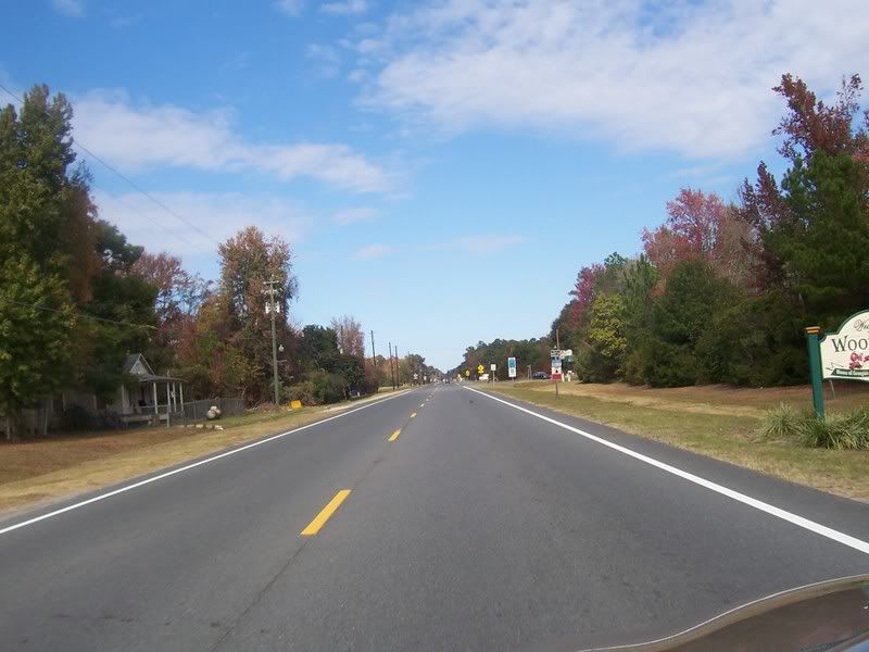
Heading
North and the City Limits of Woodbine, GA.
Another building that Nature has just about finished
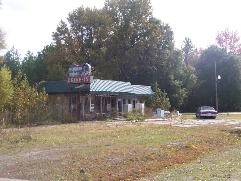
reclaiming in Woodbine, GA.
The remains of the "Georgia Girl Drive-In," just south of
Woodbine, GA
Headed North and approaching the
Satilla River.
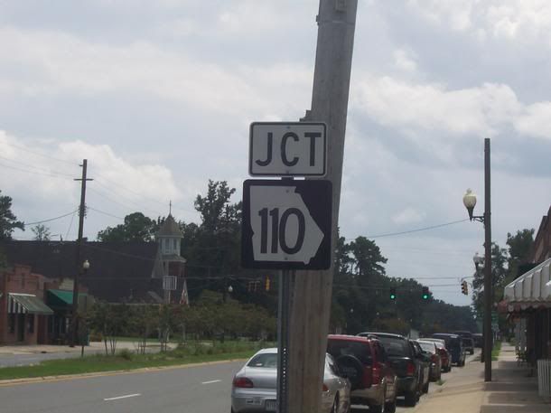
Near the Junction of GA110 in
Woodbine, GA
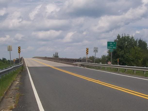
Looking
North at the J Edwin "Fat" Godley bridge that crosses the Satilla River and
takes Northbound traffic out of Woodbine, GA.
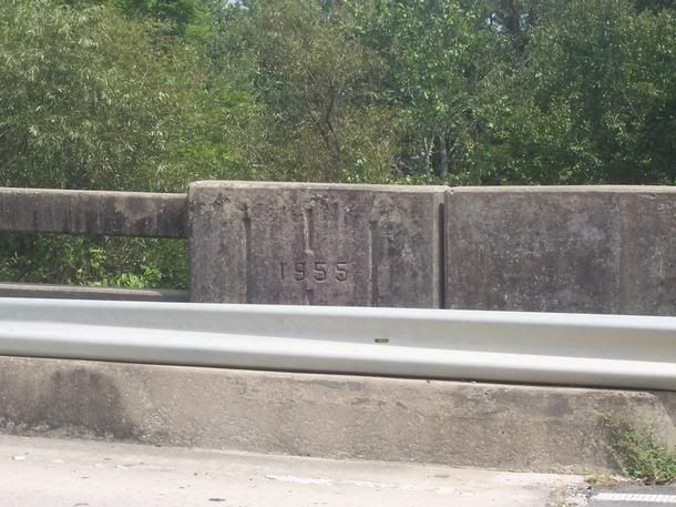
The
end of the guard rail on the J. Edwin "Fat" Godley bridge with a date stamp
indicating it was built in 1955.
And
a third look at the US17/GA110 intersection, this time from the GA110 side.
Another
look at the junction with GA110.
Above:
Looking South from the J. Edwin "Fat" Godley Bridge at Woodbine, GA.
Right:
Another Hurricane Evacuation Route sign, this one along GA110.
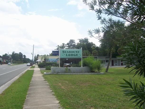
Above:
The Stardust Lodge, a small motel that is still in business
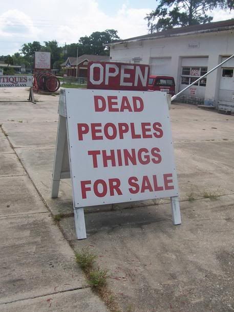
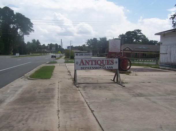
Right: A sign
advertising a local antiques store. When he's open, he's "OPEN," and when
closed, he's "SHUT."
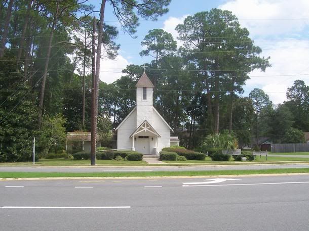
One
of many Churches along US17 in Georgia
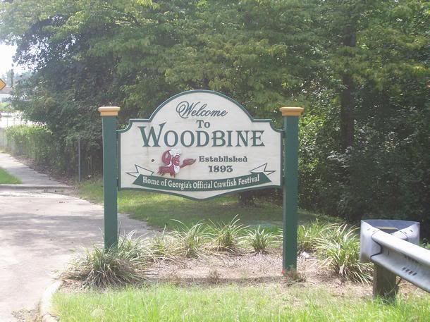
Welcome
to Woodbine, GA, Home of Georgia's Official Crawfish
Festival!
Another
look at the Antiques Store.
Looking
South on US17 toward Woodbine. In the distance is a Kingsland Police Car who
doesn't seem to think that the 55MPH Speed Limit applies to him.
An
intersection along US17 North of Woodbine near Waverly, GA.
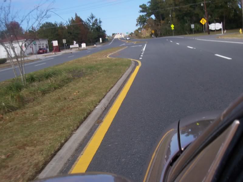
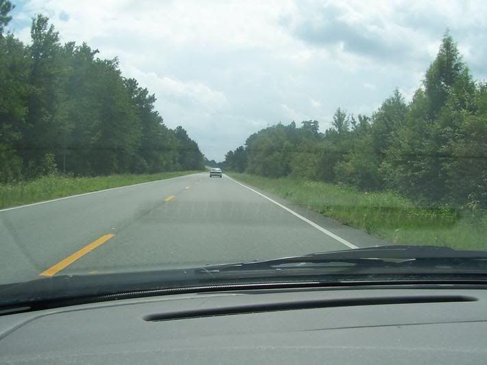
US17,
one of the few stretches that is four lanes that is not in any city or populated
area.
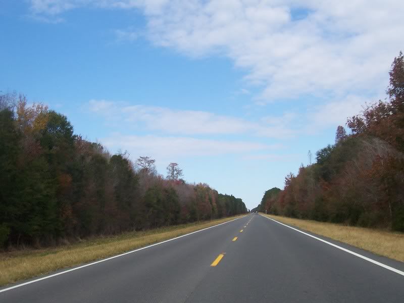
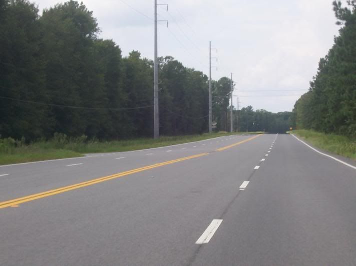
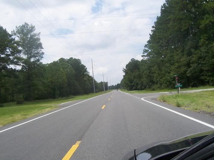
US17,
Rural Coastal Georgia.
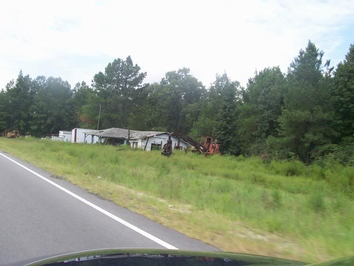
Another
structure along US17.
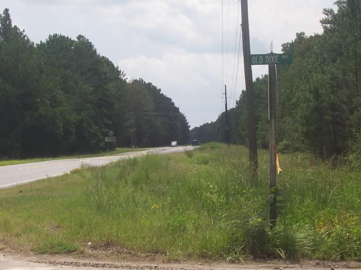
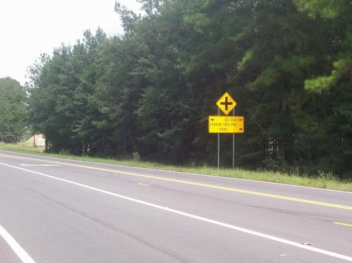
A
blast form the past. The intersection with the Old Dixie Highway whose route in
GA is generally followed by US 17.
Another
sign referencing the Old Dixie Highway. Note: may have to view image seperately
to read the sign.
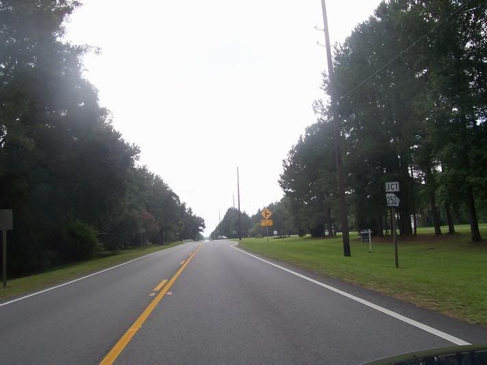
The
junction of US17 and GA252 in White Oak, GA. GA252 is also known as Burnt Fork
Rd.
Another
former gas station, once known as "Whitehead's," according to the faded sign on
the canopy. The building appears to be a hardware store now.
Approaching
the
Glynn County Line at the Little Satilla River.
Another
building, this timeĀin Dover Bluff that has seen many uses over the years.