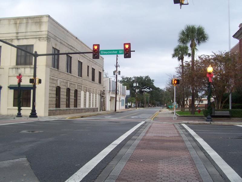
Gloucester Street is one of the main East-West city streets in Brunswick. It also carries the
designations of US25 and GA25-Conn for its entire route. It runs from its Eastern end at US17 overlooking the Marshes of Glynn to its Western end at Bay Street (where US25 joins and continues with US341 and GA27)
overlooking the docks at Mayor's Point. Downtown Brunswick and the Brunswick City Hall are located on Gloucester St.
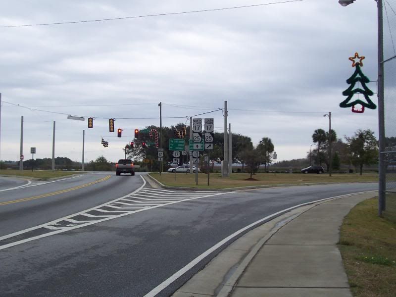
US17 Southbound, approaching the junction with US25 (note the sign).
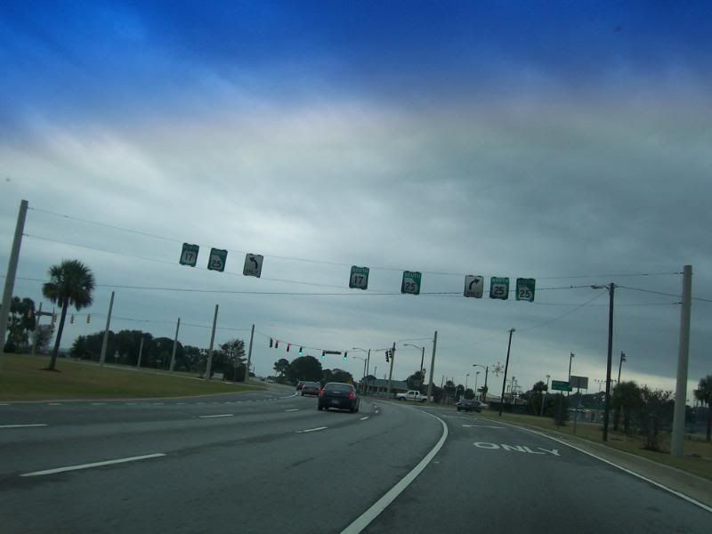
Overhead signage directing traffic to US25/GA25-Conn (right turn) US17/GA25 South (straight) or US17/GA25 North (left U-turn). The median is rather wide in this area, giving rise to the last maneuver.
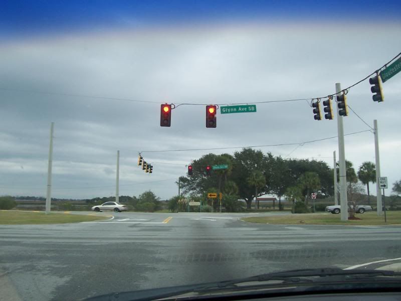
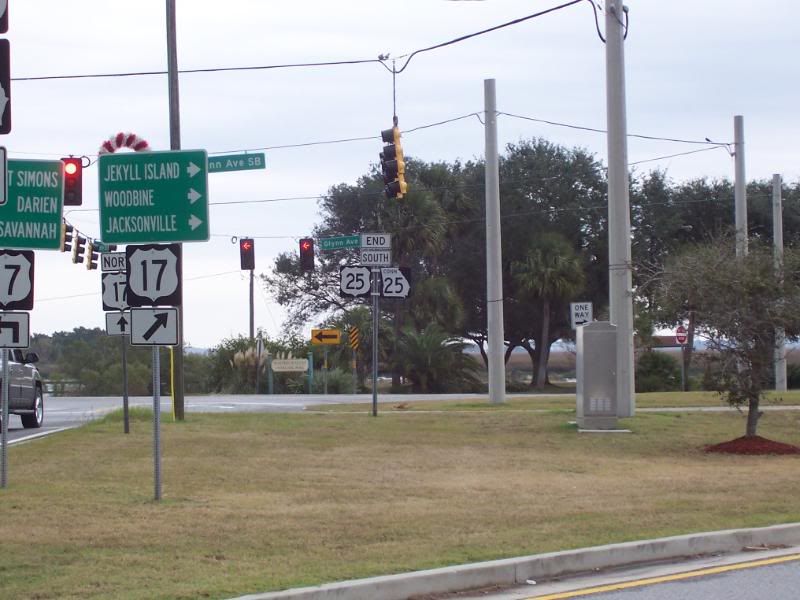
Looking at the junction from US25 South's end. Note the wide median that requires two stop lights if going from US25 to US17 North.
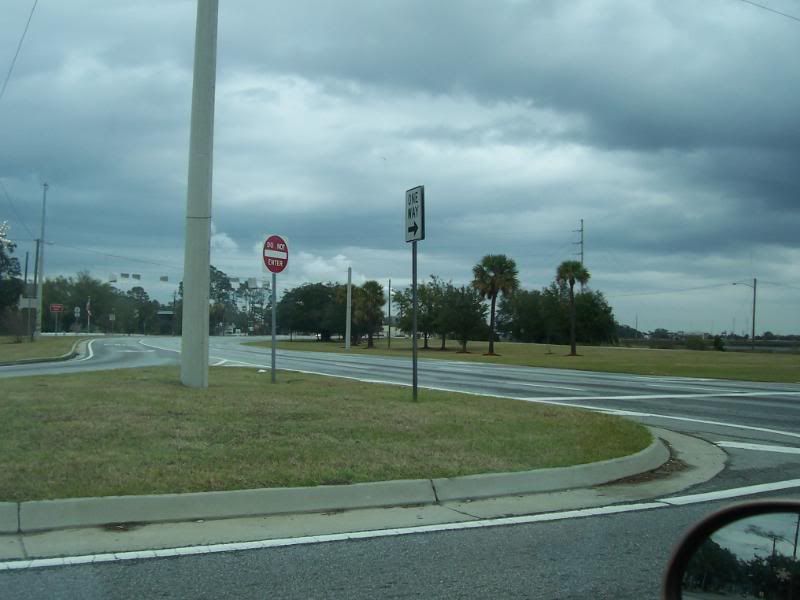
Looking North at US17 from US25. Note the wide median.
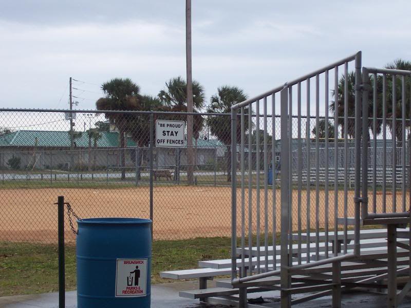
Looking at one of the ballfields at Howard Coffin Park which is at the junction of US25 and US17. That sign is facing the bleachers, so it sure isn't directed at the players.........
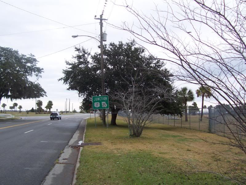
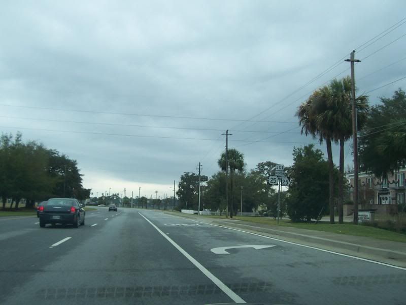
A sign announcing the upcomming junction with US17/GA25.
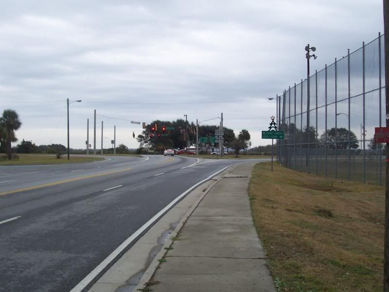
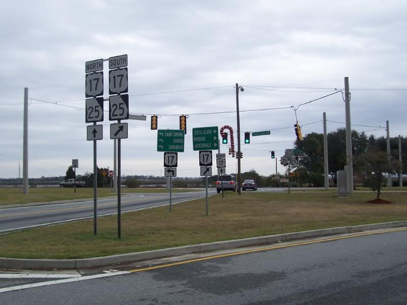
An overview of the junction.

Too damn many islands around here.
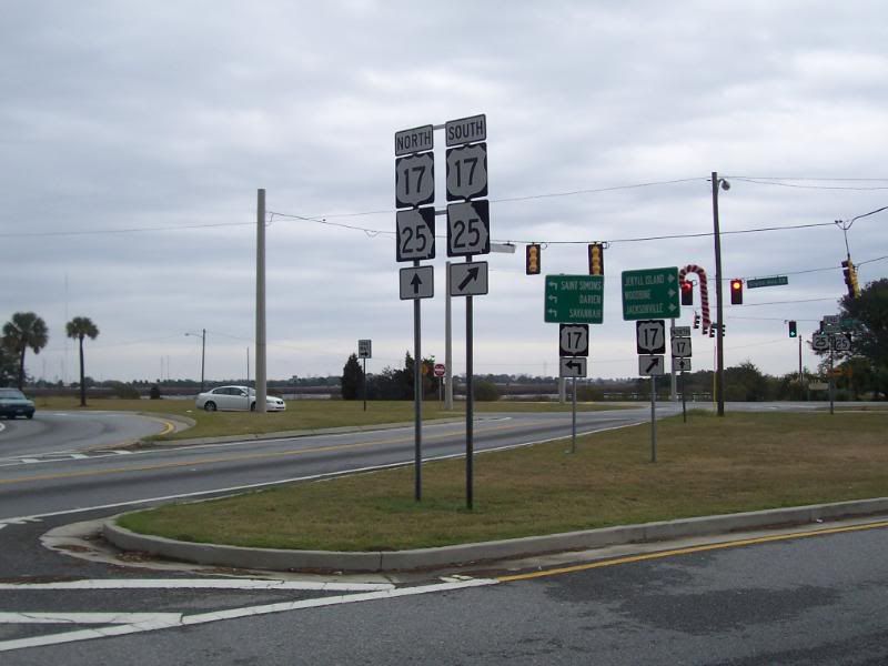
Some directional signage.
The focus of this picture is the, "End US25/GA25-Conn," sign.
Two pictures of the same sign. I think these were meant to be panorama fodder and made their way into this presentation.

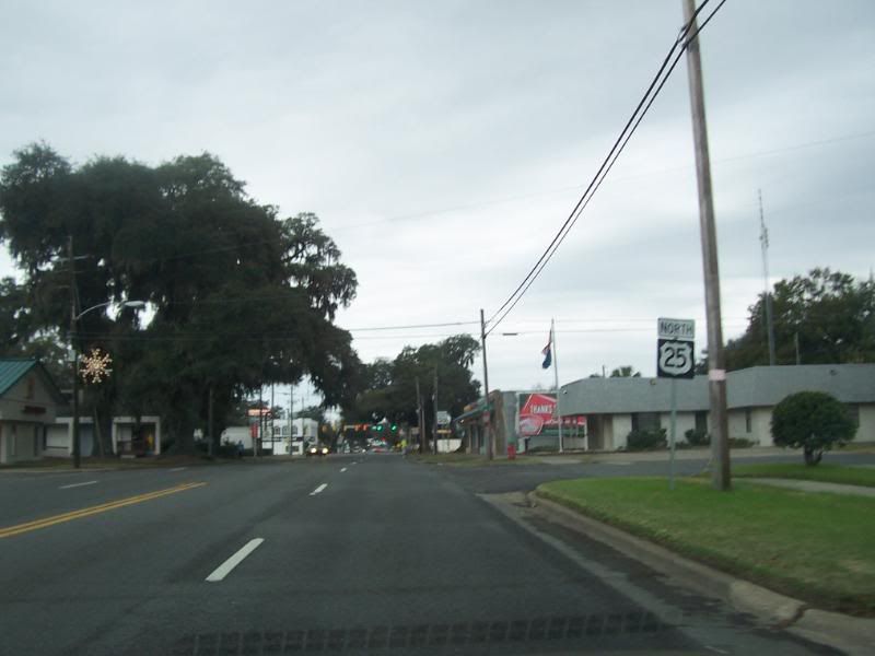
Getting away from the junction and looking at US25 Northboud towards Downtown Brunswick.
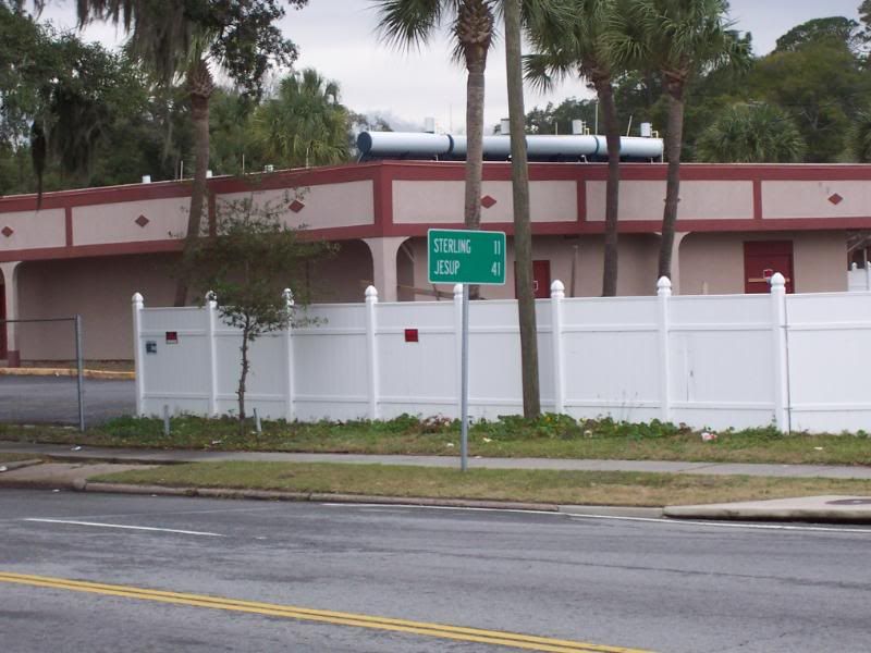
Mileage sign. Sterling, GA is 11 miles ahead and Jesup, GA is 41 miles ahead. Sterling will be seen in the
US341 page as US25 and US341 share pavement for much of their existence in Glynn County.
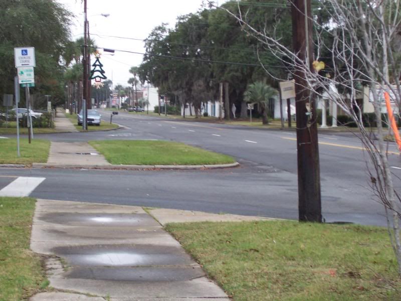
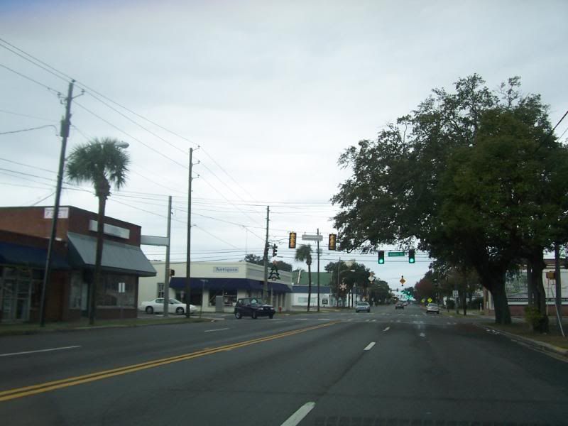
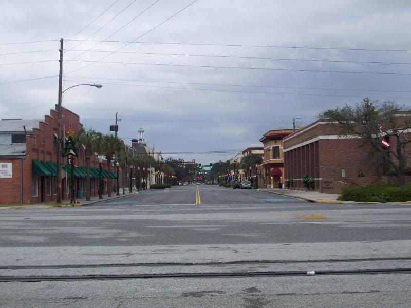
US25, Brunswick, GA.
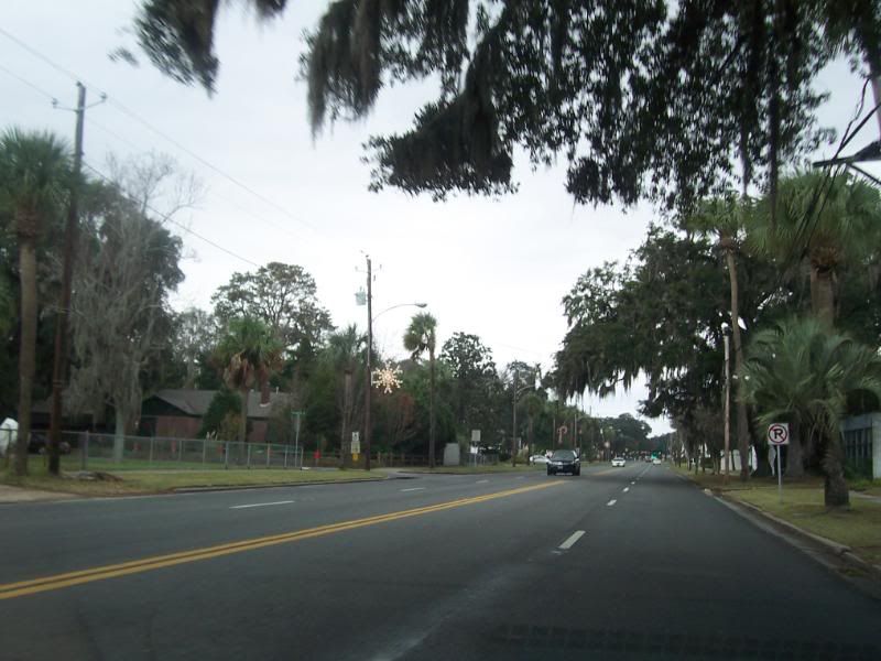
US25, Brunswick, GA.
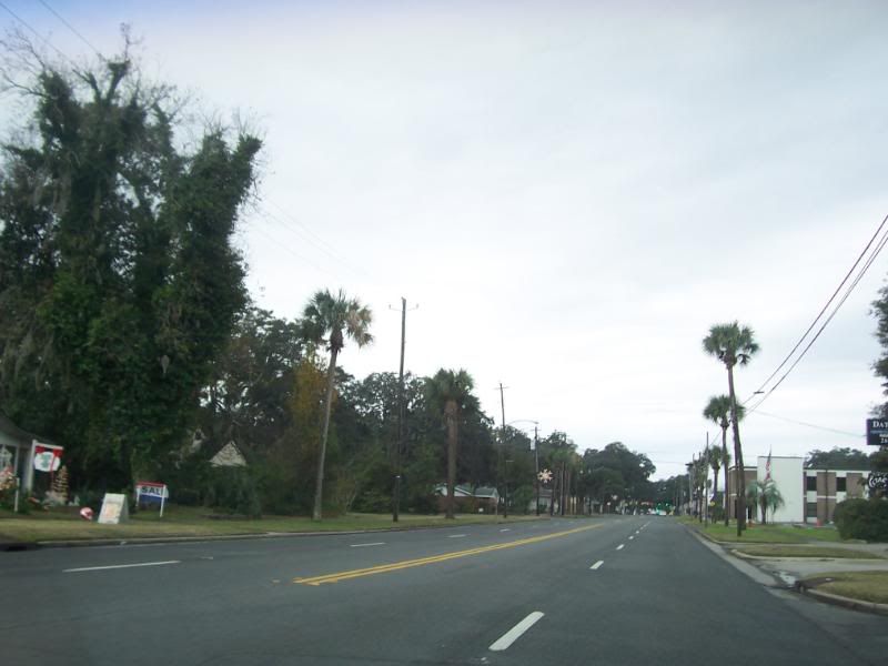
US25, Brunswick, GA.
US25, Brunswick, GA.

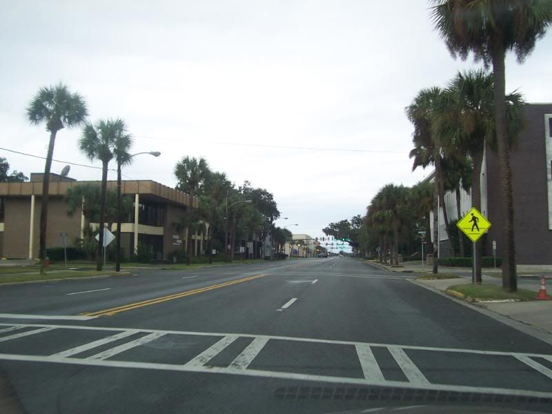
The intersection with MLK Bl. There are a lot of antique stores at this intersection.
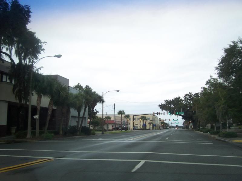
US25, Brunswick, GA.
Nothing to see here, folks. Keep moving. (That's the Federal Courthouse on the right).
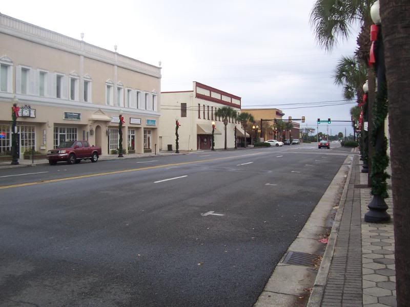
US25, Downtown Brunswick, GA.

Union St.

Crossing the highway at Union St. I had a, "walk," signal, and so stopped safely to take the picture.
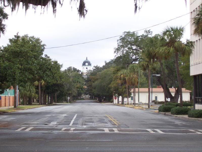
Looking down Union St from US25 (again with a, "walk," signal). In the distance is the Historic Glynn County Courthouse.

Brunswick City Hall.

Reynolds St.
The US25/Reynolds St. intersection.
US25, Downtown Brunswick, GA.
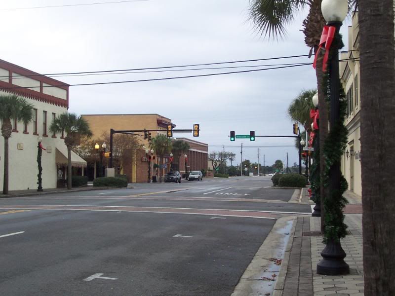
Newcastle St. is at the intersection with the stoplight.
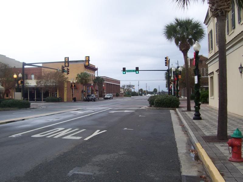
Looking back at Newcastle St.

Looking down Newcastle St. That spire is on the Old Brunswick City Hall.
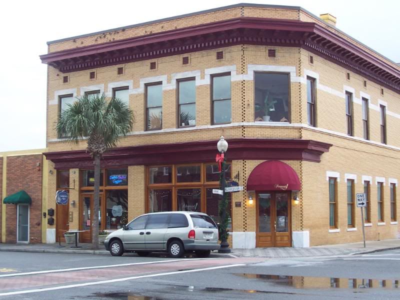
US25 and Grant St.
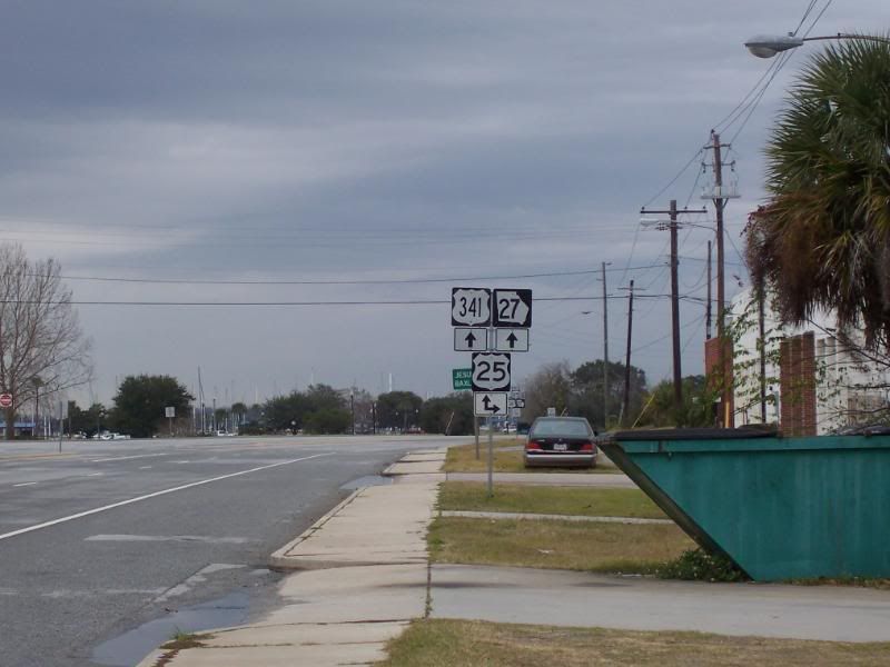
This is the end of Gloucester St and GA25-Conn. US25 will turn right and join with US341/GA27 from here to Jesup in Wayne County. This sign (facing US341/25 Northbound is in the wrong place.
It should be located South of this intersection.
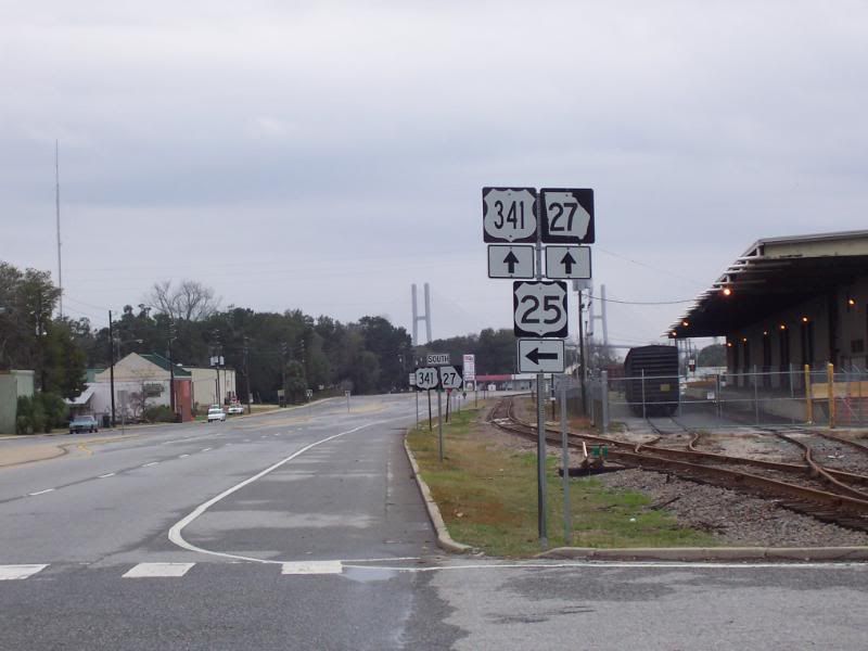
Looking at the directional sign facing US341 Southbound, indicating a left turn for US25 (note the reassurance sign in the background with only US341/GA27).
Looking East down US25/Gloucester St.
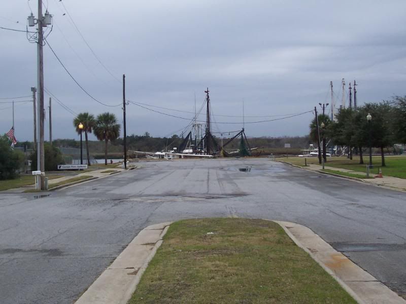
Looking West at the docks.
Tempting Darwin.
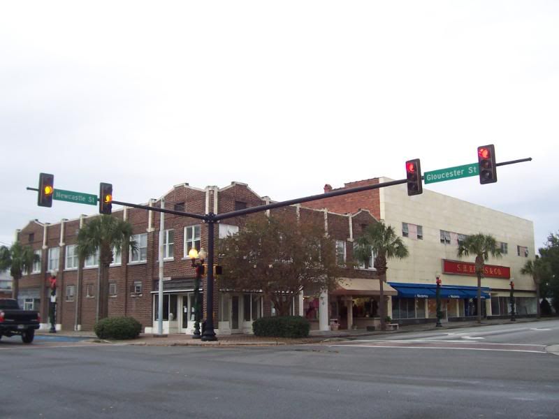
Another shot of Gloucester St (US25) and Newcastle St.
Clickable link: This picture which is not shown is my reply to WHL360. Because of the file size (almost 900K) I am making it available
by selecting it instead of including it on this page. The picture is a panorama (though not 360 degrees) of the junction of US25 and US17 while facing the marshes. Note: I know that some of the cars appear to be headed to oblivion near the intersection - that's just the nature of the beast when making panoramas and something moves.